Maps | Terrain | Landscape
Maps | Terrain | Landscape
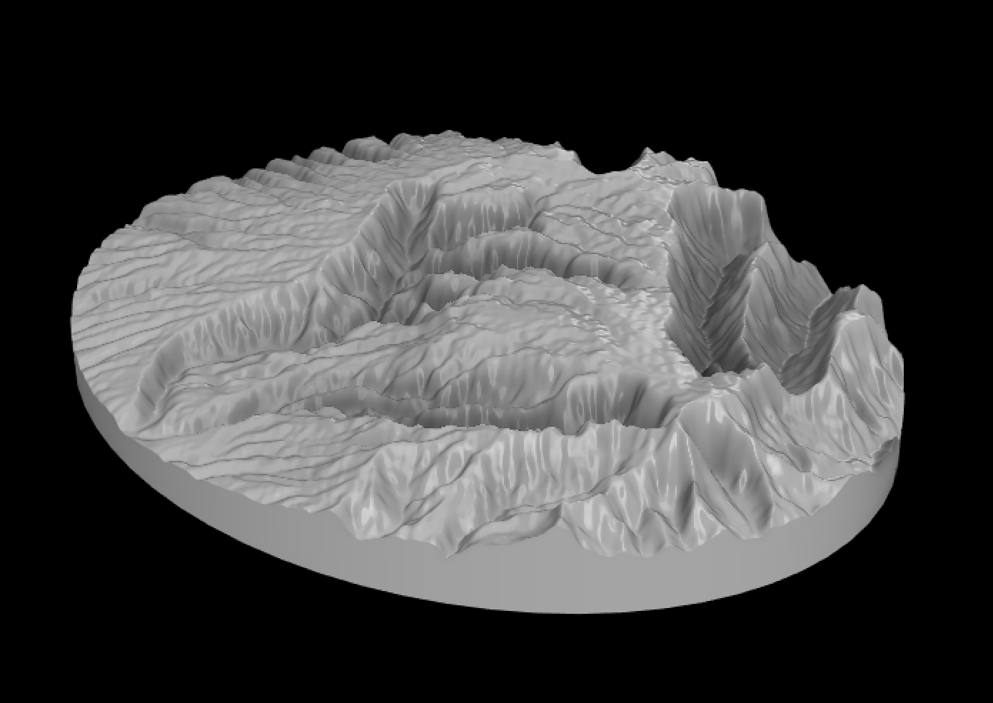
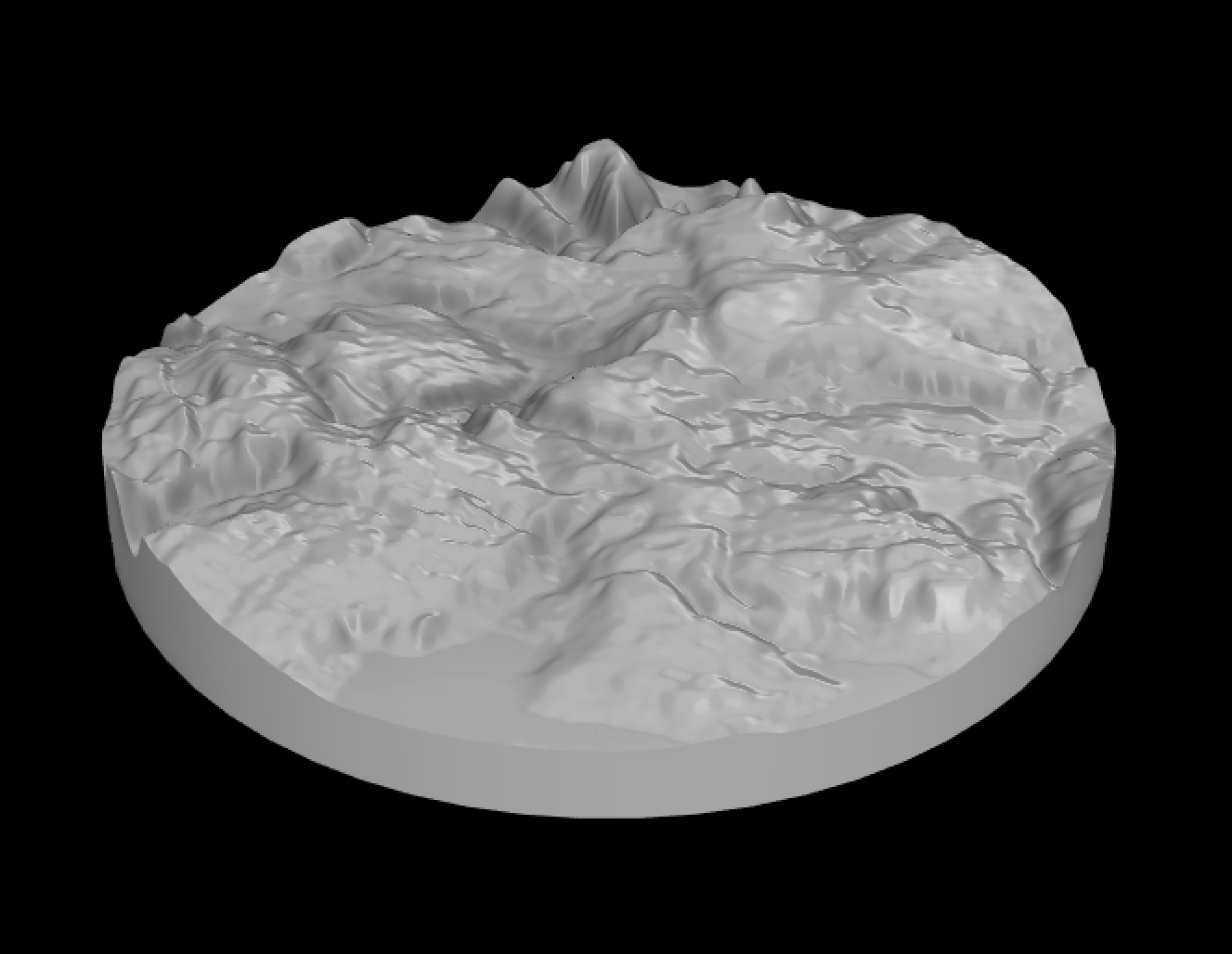
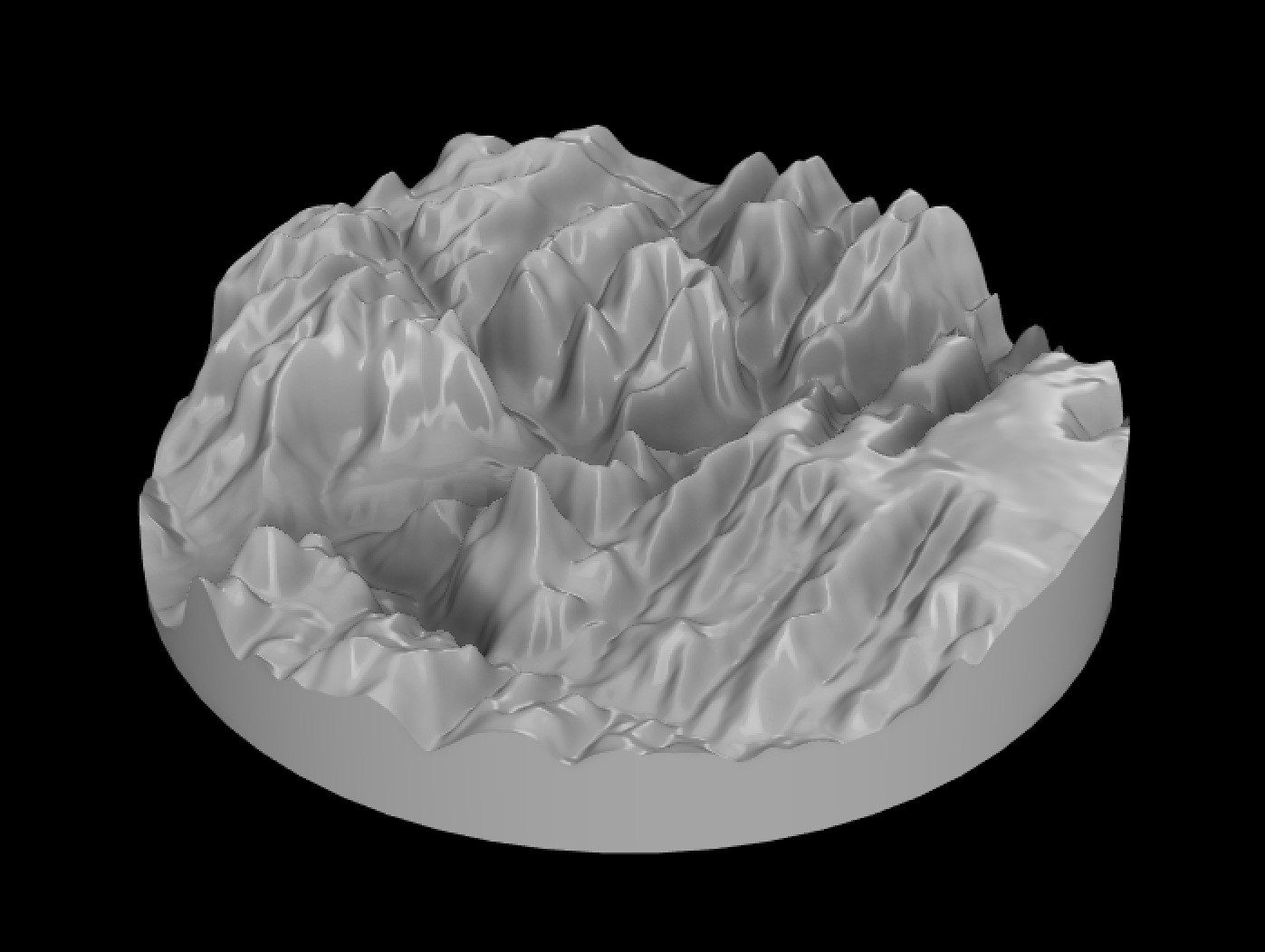
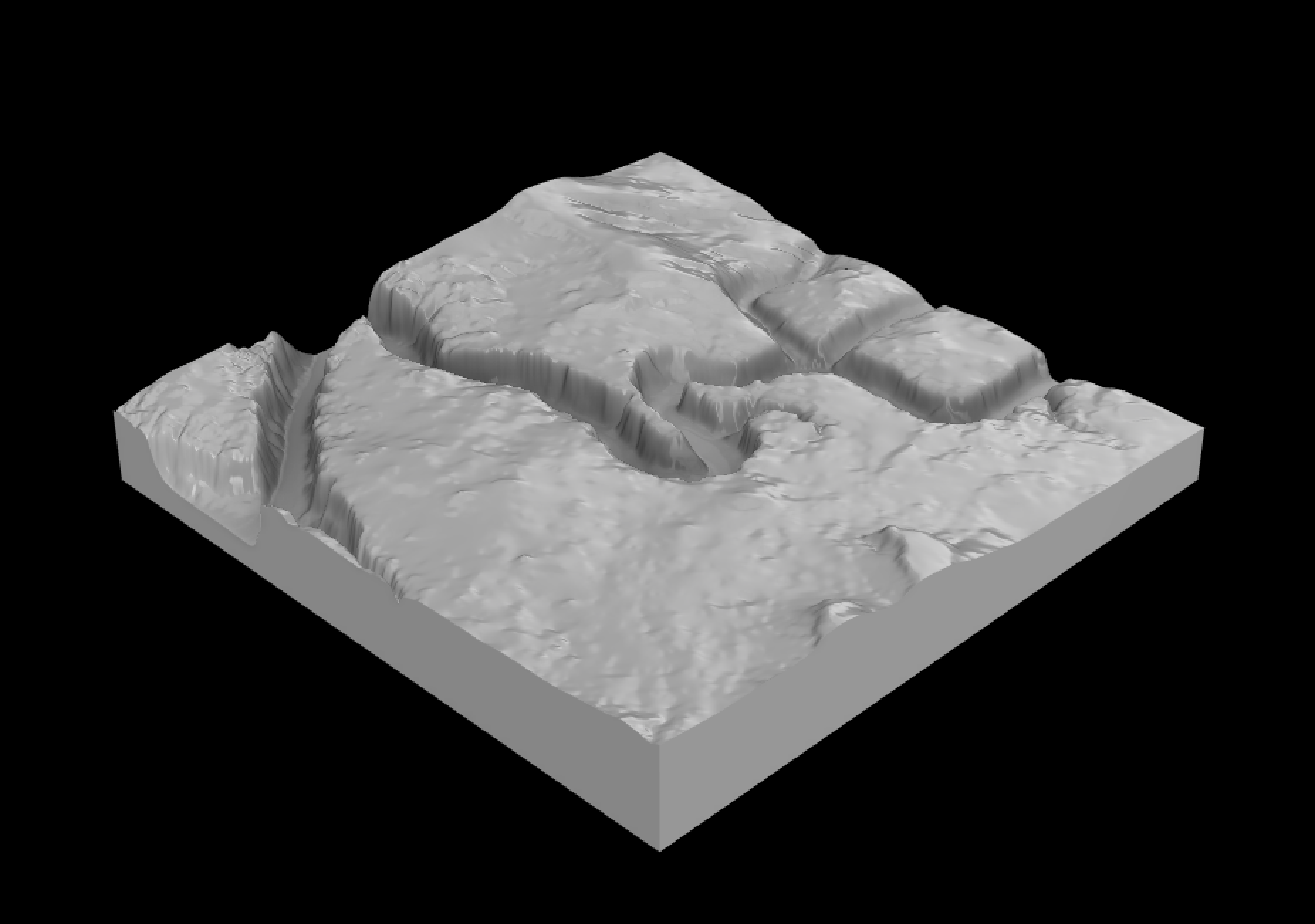
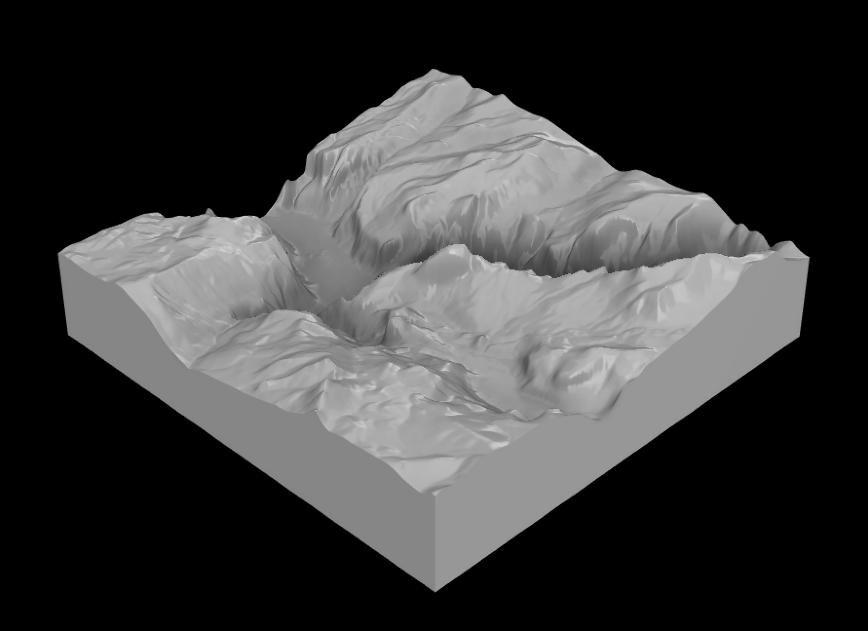
All these models are produced from highly accurate Digital Elevation (DEM) and Light Detection and Ranging (LiDAR) data collected through ASTER, USGS NED, and SRTM30+. ASTER (Advanced Spaceborne Thermal Emission and Reflection Radiometer) is the most recent public survey of elevation on Earth and has high coverage and high (~30m) resolution. USGS NED (National Elevation Dataset), is provided by the US Geological Survey and has a resolution of about (~30m). SRTM30+ (Shuttle Radar Topographical Mission) data is very, very coarse (~900m) and is useful to follow the general contours of the land. Topographical Models

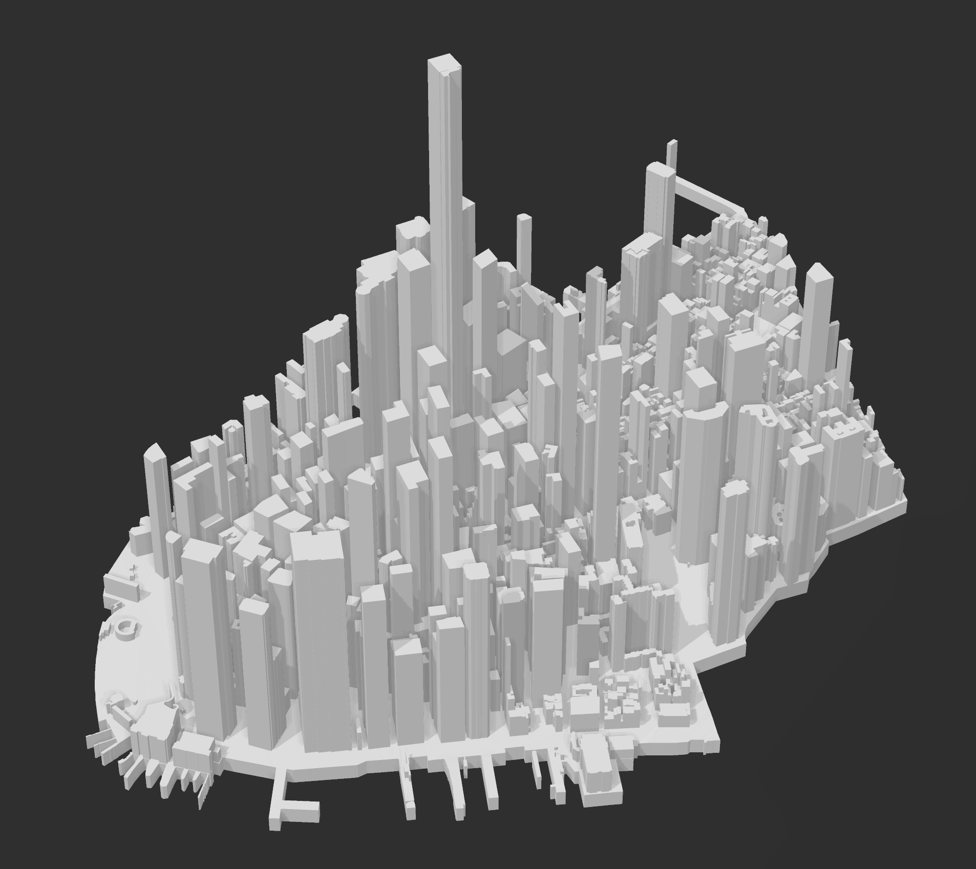
Cityscape Models
Featured